Land you can prove.
Mapped to the beacon.
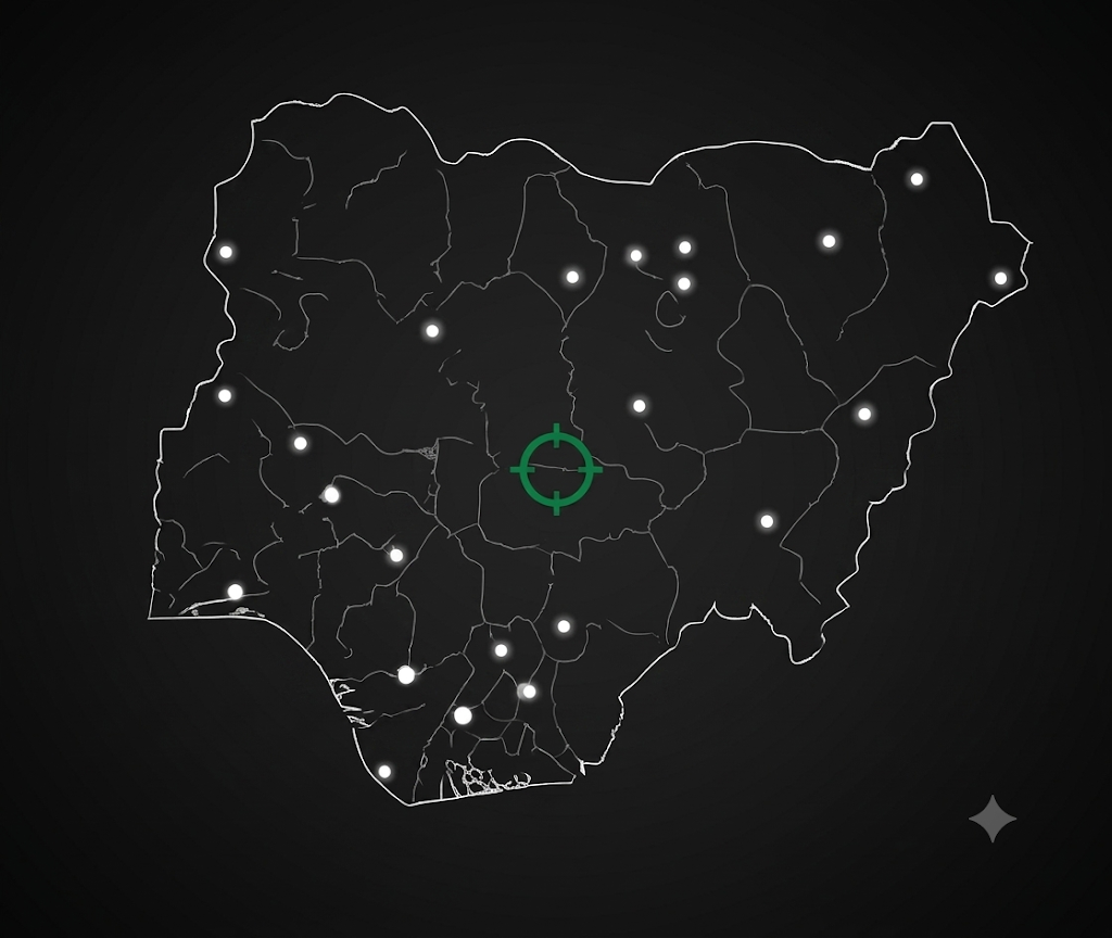
The platform that turns raw survey coordinates into validated, searchable property title — across all 36 states and 774 LGAs of Nigeria.
Trusted by surveyors, investors & legal teams · No credit card required
{
  "boundary": valid,
  "beacons": 6,
  "overlaps": none,
  "self_intersects": false,
  "area_ha": 2.84
}Raw coordinates to absolute legal boundaries.
Enter survey coordinates straight from field equipment. We convert, validate, and plot the parcel in real time — mapped without overlap risks, self-intersections, or registration conflicts.
- Automatic overlap detection
- Instant GeoJSON perimeter export
- Live area & boundary validation
Built for professional standards.
One platform for the people who register, invest in, and defend land title.
Licensed Surveyors
Digitize your records, generate automated field reports, and manage multi-plot developments with precision coordinate input.
Real Estate Investors
Verify property authenticity before payment. Track holdings across states with granular geospatial detail.
Legal Professionals
Conduct airtight due diligence using validated mapping records. Resolve boundary disputes with authoritative, tamper-evident evidence.
From field survey to title, in three steps.
Enter beacon coordinates
Input 4–10 Easting/Northing points straight from your field equipment — the correct UTM zone is picked automatically from the LGA.
Validate & map instantly
We convert to WGS84, check the geometry for overlaps and self-intersections, and plot your parcel boundary on the map in real time.
Register & share
Save a verifiable record other professionals can search and trust — and reach you through the platform, without exposing your details.
Put your land on the record.
Join the network of Nigerian surveyors, investors, and legal teams mapping property they can actually prove.